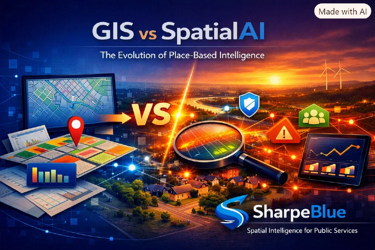
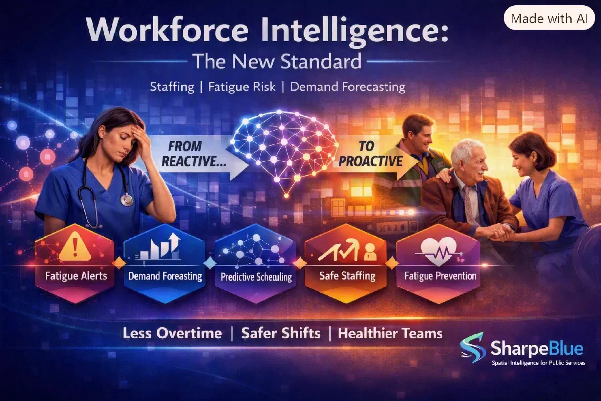
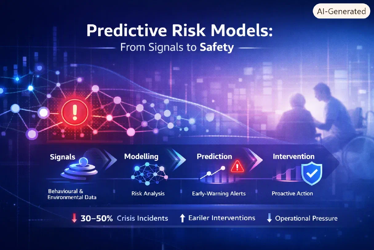
Why Councils Need a Spatial Layer to Improve Outcomes
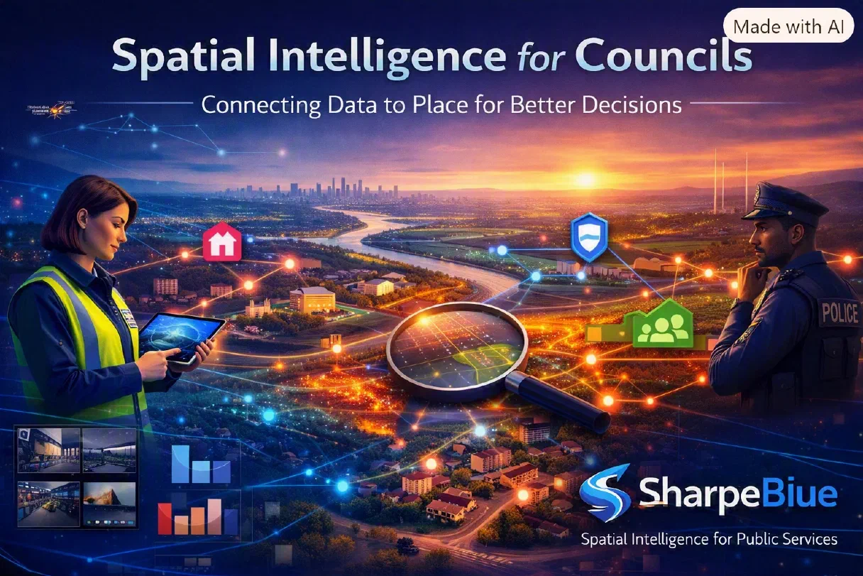
Why Councils Need a Spatial Layer for Better Outcomes
Councils make thousands of decisions every day — about people, places, services, and risk. But most of those decisions are made with fragmented data, disconnected systems, and no shared picture of what is happening across a place.
A spatial layer changes that. It turns scattered information into unified, actionable insight — giving councils a real‑time understanding of demand, risk, flow, and outcomes across their communities.
The Problem: Fragmented Data
Every council holds vast amounts of data — but it’s spread across:
- Social care systems
- Housing and homelessness platforms
- Community safety tools
- Transport and mobility datasets
- Education, early‑help, and youth services
- Environmental and estates systems
None of these datasets speak to each other. None show where risk is emerging, where demand is rising, or where interventions will have the greatest impact.
This fragmentation creates three major challenges:
- Blind spots — risk is often visible in one system but invisible in another.
- Slow response — teams react to incidents instead of anticipating them.
- Inefficient deployment — resources are allocated based on assumptions, not spatial reality.
Councils don’t need more data. They need a spatial layer that connects it.
Spatial Layer = Unified Insight
A spatial layer brings every dataset together on a single map‑based intelligence platform.
It transforms siloed information into:
- Place‑based risk signals
- Demand forecasting by neighbourhood
- Flow patterns across services and communities
- Real‑time operational visibility
- Predictive insight for early intervention
Instead of asking “What happened?”, councils can ask:
- “Where is risk emerging?”
- “Where will demand rise next?”
- “Where should we deploy teams today?”
- “Where are the gaps in provision?”
Spatial intelligence turns data into decisions — and decisions into outcomes.
Use Cases
Safeguarding
A spatial layer highlights patterns across social care, police, education, and community data — revealing early‑warning signals that no single system can detect. Councils can identify emerging hotspots, coordinate multi‑agency response, and intervene earlier.
Planning & Growth
Spatial intelligence shows how people move, how services are used, and how neighbourhoods evolve. It supports better planning decisions, more accurate forecasting, and stronger evidence for investment and regeneration.
Demand Management
By modelling demand spatially — across care visits, community needs, transport flow, and estates activity — councils can deploy teams more efficiently, reduce pressure, and improve service reliability.
CTA: Learn About Place‑Based Intelligence
Place‑based intelligence is becoming essential for modern councils. Explore how a spatial layer can help you improve outcomes, protect communities, and make better decisions — powered by SharpeBlue SpatialAI.